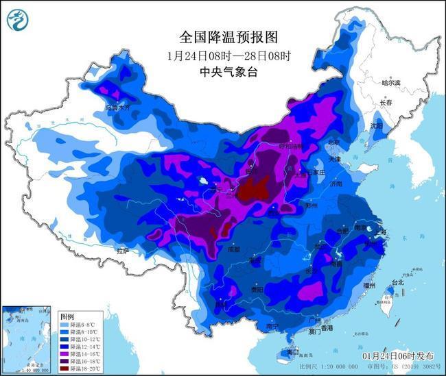
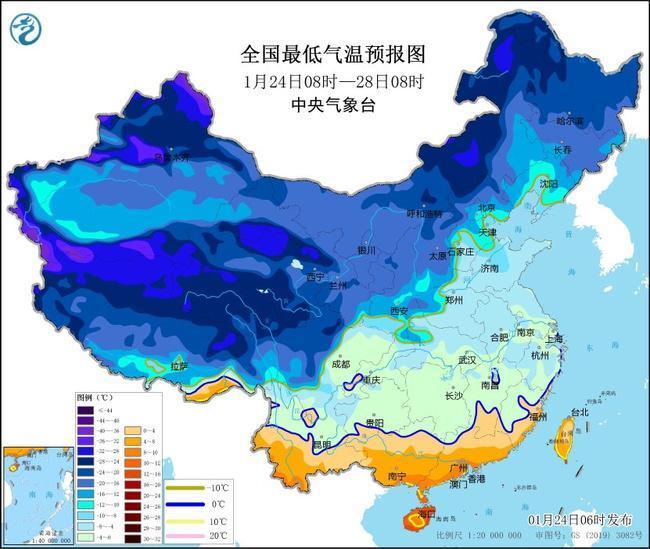
The Central Meteorological Observatory issued a yellow cold wave warning at 6:00 on January 24:
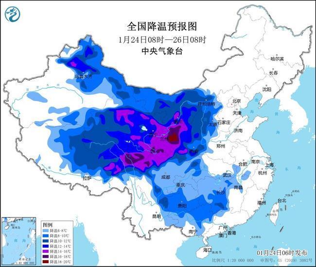
Affected by the cold wave, it is expected that from 08:00 on January 24 to January 27, the temperature in most parts of my country will drop by 8 to 12°C, and the cooling range in the eastern part of the northwest region, western North China, and northern La región suroeste puede alcanzar más de 14 ° C. Las áreas anteriores están acompañadas de vientos del norte de nivel 4 a 6, con ráfagas de nivel 7 a 9; Del 26 al 27, habrá fuertes vientos de nivel 6 a 8, con ráfagas de nivel 9 a 11 en las aguas orientales y sur de mi país. En la mañana del 28, la línea mínima de temperatura 0 ℃ presionará hacia el sur hasta el norte de Yunnan al sur de Jiangnan.
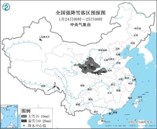
 The Central Meteorological Observatory issued a yellow warning of blizzard at 6:00 on January 24:
It is expected that from 08:00 on January 24 to 8:00 on January 25, there will be heavy snow in some areas such as southeastern Tibet, northeastern Qinghai, central and eastern and southern Gansu, Ningxia, central and southern Shaanxi y Western Henan. Entre ellos, habrá tormentas de nieve (10-18 mm) en algunas áreas como el sur de Gansu, el sur de Ningxia, el centro y sur de Shaanxi y el oeste de Henan. Algunas de las áreas mencionadas anteriormente han agregado profundidades de nieve de 2 a 5 cm y pueden alcanzar más de 10 cm en algunas áreas.