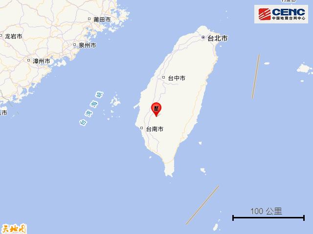
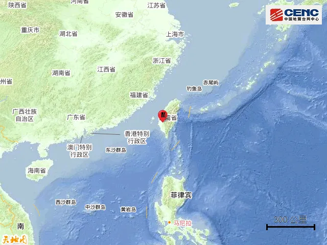
CCTV.com News: According to the official account of "China Earthquake Network", according to the official measurement of China Earthquake Network, a magnitude 6.2 earthquake occurred in Tainan City, Taiwan at 0:17 on January 21, with a depth of 14 kilometers. The epicenter is located at 23.24 degrees north latitude and 120.51 degrees east longitude.
The earthquake caused a strong tremor across Taiwan, with obvious earthquakes in Quanzhou, Xiamen, Fuzhou, Putian and other places, and there were also tremor feedbacks in Ningbo, Shanghai, Hangzhou and other places.
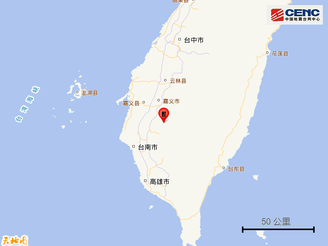
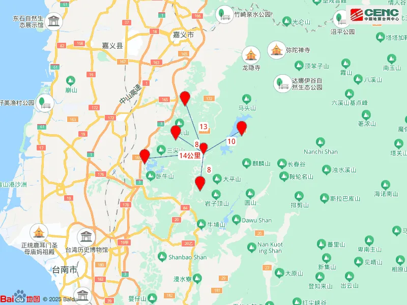
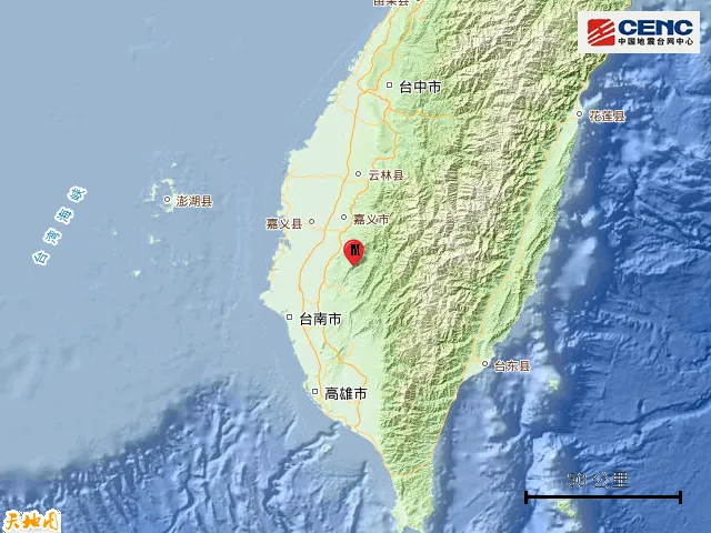
The surrounding counties: the epicenter is 8 kilometers away from Dongshan District, 8 kilometers away from Nanxi District, 10 kilometers away from Dapu Township, 13 kilometers away from Baihe District, 14 kilometers away from Liujia District, 28 kilometers away from Chiayi City, and 227 kilometers away from Taipei City.
Epicentric topography: The average altitude within 5 kilometers of the epicenter is about 408 meters.
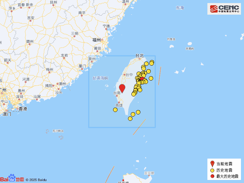
Historical Earthquakes: According to the China Earthquake Network Speed Report Directory, there have been 348 earthquakes of magnitude 4 or above within 200 kilometers around the epicenter in the past five years. The largest earthquake was a magnitude 7.3 earthquake in the waters of Hualien County, Taiwan on April 3, 2024 (141 kilometers away from this epicenter). The distribution of the first 50 historical earthquakes according to the magnitude is shown in the figure.