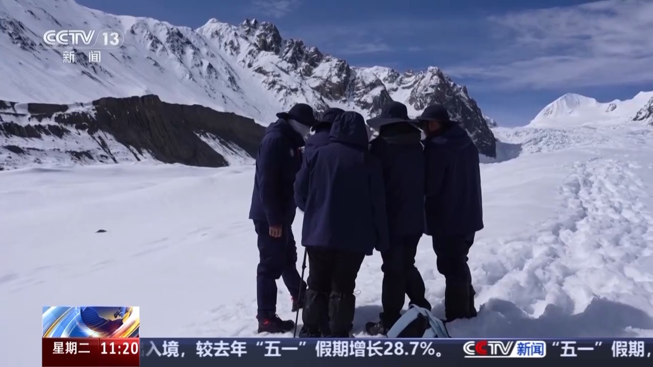
Renlongba Glacier is a famous marine glacier in Tibet. It still maintains the original natural state of the glacier and is a valuable resource for ecological research and geological survey. Today, the China Geological Survey of the Ministry of Natural Resources will officially launch my country's first marine glacier aerial exploration in Chamdo, Tibet. Why is my country now launching a survey on marine glaciers?
The climate of marine glaciers is variable, usually located in high-altitude areas, with complex terrain and difficult data acquisition. In addition, the special nature of the glacier itself has always been a more difficult one in glacier survey work. The first aviation exploration of marine glaciers is to use the latest technology and equipment to master the development laws of marine glaciers in my country.
Xiong Shengqing, chief scientist of China Natural Resources Aviation Geophysical Remote Sensing Center: This time we are actually carrying out a national geological survey task. For areas of typical marine glaciers, we can understand the distribution range, thickness and changes of marine glaciers through satellite, space and ground stereoscopic observations and monitoring, and then calculate the amount of ice reserves.
Although the survey of marine glaciers is the most difficult, it is a precious solid freshwater resource. In this marine glacier survey, the first item is to calculate the reserves of solid ice and find out the "family" of the glaciers. At the same time, marine glaciers are very sensitive to global climate change and are also important players in global water circulation and climate regulation. By detecting marine glaciers, we can better understand the processes and trends of global climate change and provide a scientific basis for responding to climate change.
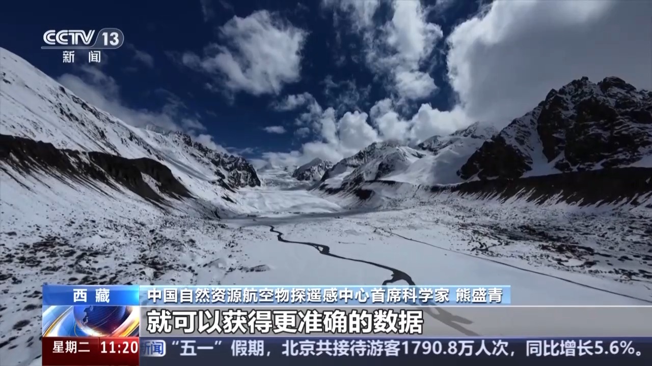
Chief Scientist of China Natural Resources Aviation Geophysical Remote Sensing Center Xiong Shengqing: Glacier melting may cause changes in biodiversity, climate changes, and even sea level changes, etc. After we conduct on-site detection, we can obtain more accurate data. Based on this data, scientists will analyze it and predict what impact it has on water resources? What impact will it have on the environment? What impact will it have on the ecology?